Integrate ArcGIS® with Laserfiche
Access, organize, and upload Laserfiche files using ArcGIS, and put the right
information at your team's fingertips.
Popular ways to connect ArcGIS® and Laserfiche
Upload a document to Laserfiche from an ArcGIS® app
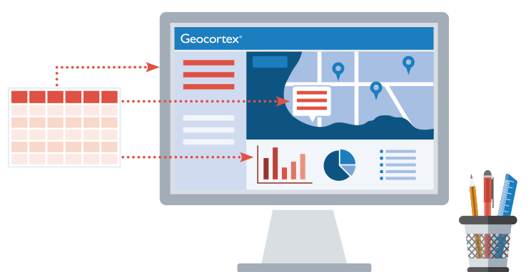
Select a feature on the map to upload, tag, and associate documents with that feature in the Laserfiche database, eliminating swivel chair processes.
Find all files in a selected area on an ArcGIS® web map
Use a buffer to query all Laserfiche files associated with map features in the selected area, allowing users to access batches of related files from a familiar visual interface.
View documents relevant to your current location
Use your device’s location settings to effortlessly access Laserfiche documents associated to nearby map features, streamlining tasks for inspectors, surveyors, and other field crew members.
Use VertiGIS Studio to integrate ArcGIS® with these apps – and more!
What is VertiGIS Studio?
VertiGIS Studio allows you to create targeted web mapping apps that deliver what your end-users need, without custom development. It is versatile enough to work across departments and industries and powerful enough to handle complex enterprise integration requirements.

Built with the Esri Geospatial Cloud
For over 20 years, VertiGIS Studio has been engineering exclusively alongside Esri’s ArcGIS®, and has helped our customers accomplish even more with new and emerging technologies.
Let us show you how
Copyright © 2022 VertiGIS North America Ltd. All rights reserved.
VertiGIS Studio and VertiGIS are registered trademarks of VertiGIS Ltd. Geocortex and Latitude Geographics are registered trademarks of VertiGIS North America Ltd. in the United States and Canada. Essentials is a registered trademark of VertiGIS North America Ltd. in the United States. Other companies and products mentioned are trademarks or registered trademarks of their respective owners. Trademarks provided under license from Esri.


